Drone Inspection Services
Eliminate scaffolding, reduce risk, and get detailed inspection reports in 24 hours — all from a single drone flight.
- Same-day deployment available nationwide
- Detailed report in 24h with annotated imagery
- Zero scaffolding — 50–70% cost savings
Get a quote in 24h
Tell us about your asset. We'll send pricing and turnaround time.
Trustedby170kdrone
10+ years of experience you can trust.
Certified drone pilots with thousands of flight hours.
Why drones are the way
Why modern teams are replacing scaffolding and rope access with aerial intelligence.
Traditional Manual Inspection
Old Way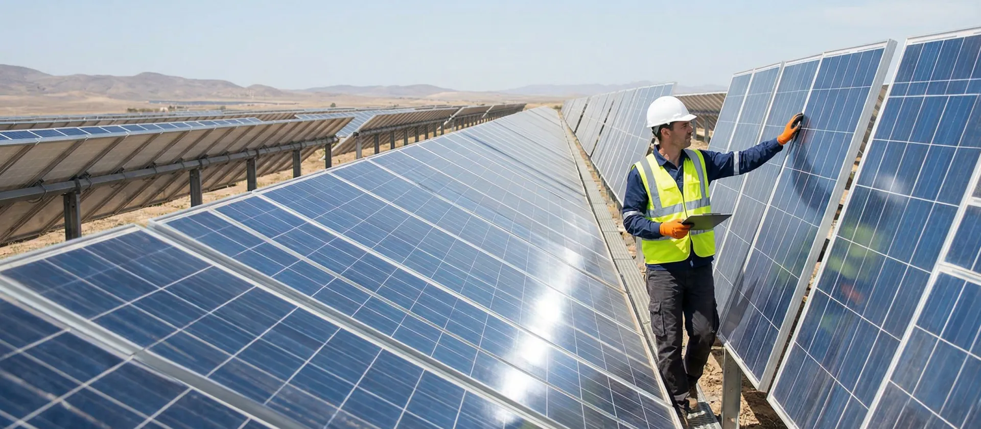
- High Risk
Workers at dangerous heights with scaffolding and rope access.
- Expensive Setup
Scaffolding costs $15k–$50k+ and takes days to erect.
- Limited Documentation
Written notes and handheld photos lack context and coverage.
- Operations Downtime
Assets must be shut down for safe manned access.
DroneOfficial Inspection
New Way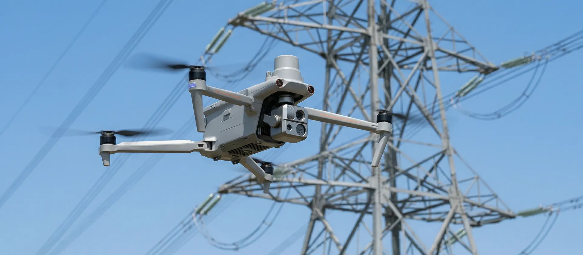
- Zero Risk
Remote aerial access — no workers at height, no confined spaces.
- 50–70% Cost Savings
One pilot replaces scaffolding crews and heavy equipment.
- HD Visual & Thermal Reports
Annotated imagery with defect markers and thermal overlays.
- Zero Downtime
Inspect during live operations — no shutdowns required.
What you receive
Every deliverable is designed for immediate decision-making — ready for insurers, engineers, and maintenance teams.
HD Visual Reports
High-resolution aerial imagery with annotated defect markers, measurements, and severity ratings for clear, actionable documentation.
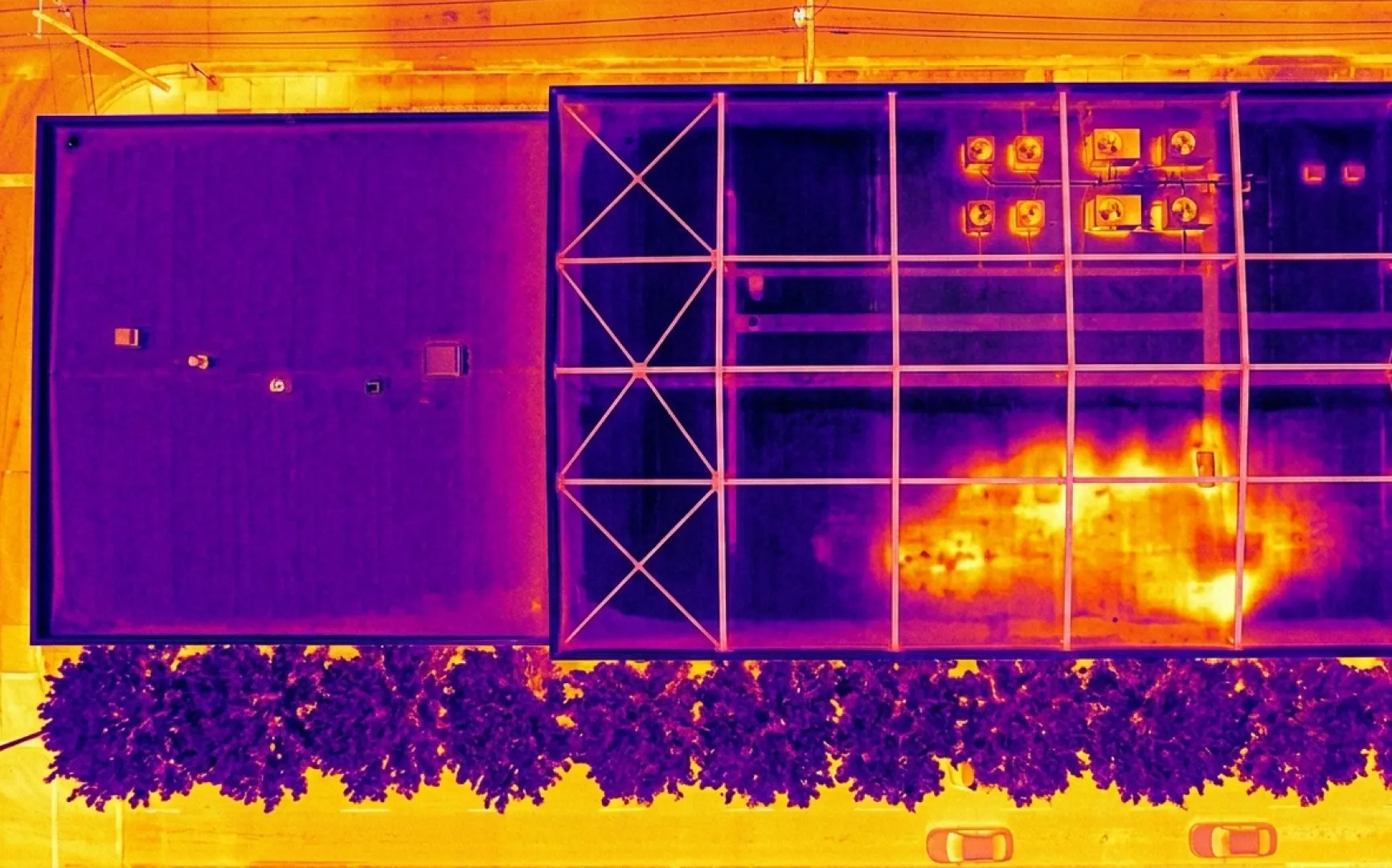
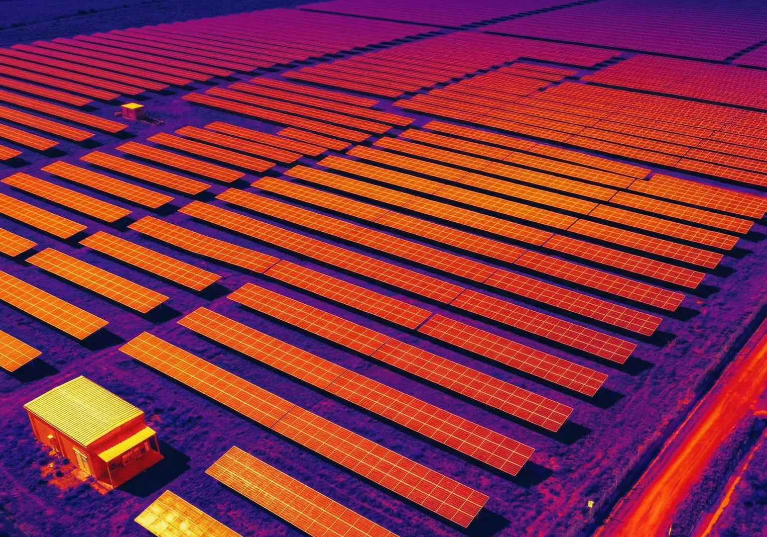
Thermal Analysis
Infrared thermography captures heat signatures invisible to the eye — detecting moisture intrusion, insulation gaps, and electrical faults.
3D Structural Models
Dense photogrammetric reconstructions and LiDAR point clouds for precise dimensional analysis and structural condition assessment.

Executive Summary
Professional PDF report with prioritized findings, recommended actions, and compliance documentation ready for stakeholders and insurers.
Seamless Inspection Software Integration
Our inspection data flows directly into your existing asset management and reporting tools. No custom pipelines, no compatibility headaches.
Inspection without limits
We provide detailed aerial inspection data that facility managers, engineers, and insurers demand. From rooftops to cell towers, expect comprehensive reports delivered at the speed of drones.
Safety-First Operations
Eliminate the need for scaffolding, rope access, and confined space entry. Our remote aerial inspections keep your team on the ground.
Multi-Sensor Capability
RGB, thermal infrared, LiDAR, and multispectral payloads for comprehensive non-destructive testing from a single flight.
Rapid Turnaround
Same-day deployment with annotated inspection reports delivered within 24–48 hours of site departure.
Reliable Compliance
Operated by FAA Part 107 certified pilots with comprehensive liability insurance. Documentation meets OSHA and insurer requirements.
Where teams use
drone mapping
Survey-grade accuracy, 3D measurements, and precision topographics for your industry.
 Roofing
Roof Inspections
Assess shingle condition, detect leaks, evaluate storm damage, and document new installations — all without setting foot on the roof. HD and thermal imagery reveal defects invisible from the ground.
From raw data to actionable insight
Our analysis team processes aerial imagery into detailed inspection reports with annotated defect markers, thermal overlays, and prioritized maintenance recommendations.
Standard Inspection Deliverables:
- 24-hour report with annotated HD imagery and defect analysis.
- Thermal overlays detecting heat loss, moisture, and electrical faults.
- 3D models with dimensional data for engineering assessments.
How it works
01. Tell Us About Your Asset
Share the asset type, location, and inspection requirements. We scope the mission and send a clear quote.
02. We Inspect the Asset
FAA Part 107 certified pilots deploy with RGB, thermal, or LiDAR sensors. Full 360° coverage captured safely from the air.
03. Report in 24–48h
Download annotated inspection reports, thermal overlays, and 3D models — ready for your engineering and insurance teams.
See it. Report it.
Fix it.
Get detailed aerial inspection data delivered within 24 hours.
Drone inspections typically cost $500–$2,500 per deployment depending on asset type, height, sensor requirements, and location. This is 50–70% less than scaffolding or helicopter methods. Most projects include a detailed inspection report with annotated imagery.
Yes. Drone inspections eliminate the need to send workers to dangerous heights or confined spaces. All flights are conducted by FAA Part 107 certified pilots with full liability insurance, meeting OSHA guidelines for workplace hazard reduction.
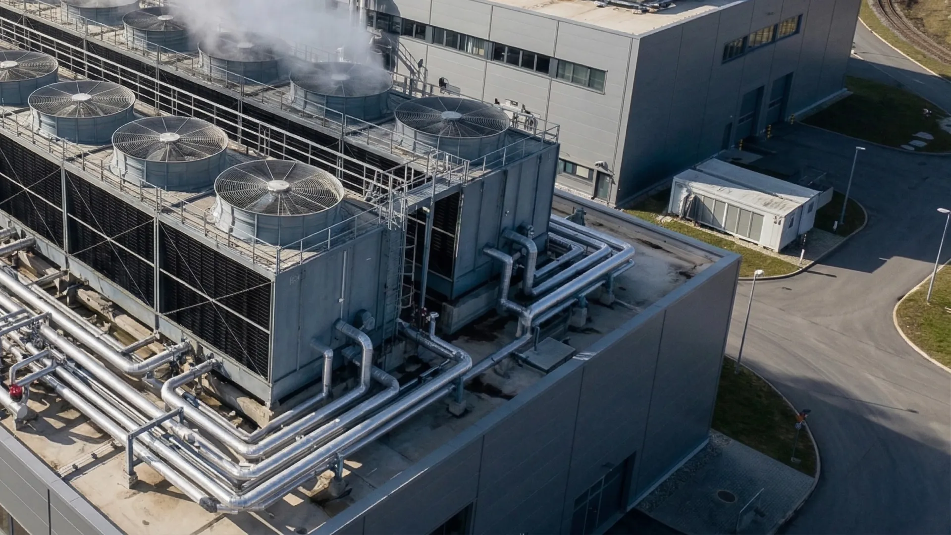
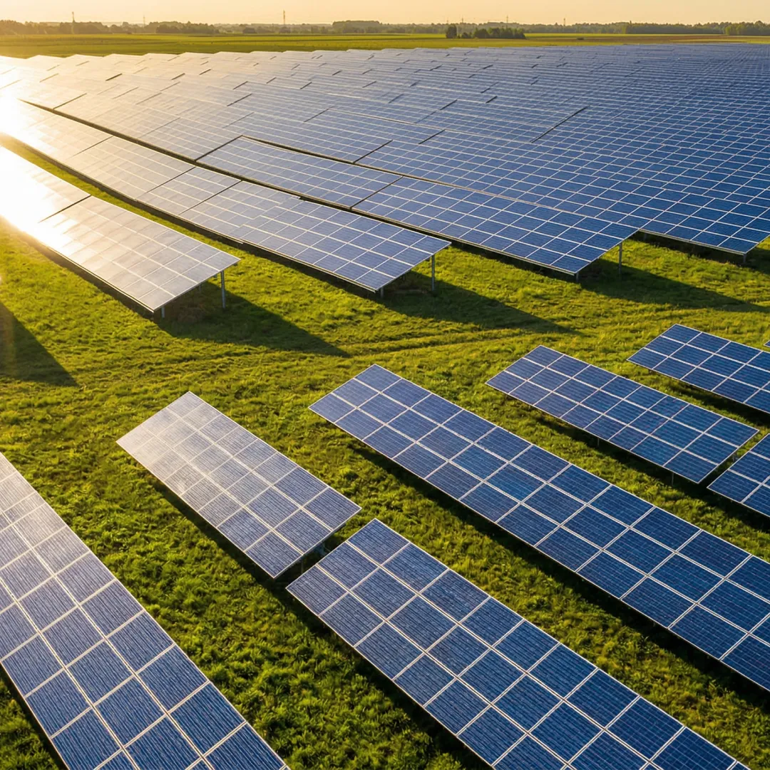
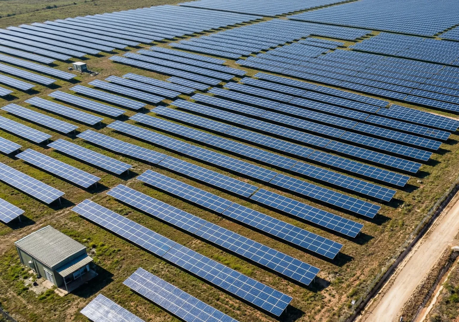
Drones inspect roofs, cell towers, bridges, solar panels, wind turbines, pipelines, chimneys, facades, power lines, and storage tanks. They use RGB, thermal infrared, and LiDAR sensors to detect cracks, corrosion, heat loss, moisture intrusion, and structural damage.
Most single-asset drone inspections take 1–3 hours on-site. Reports with annotated imagery and defect analysis are delivered within 24–48 hours. Multi-site inspections can cover 5–10 assets per day.
Yes. Professional drone inspections comply with FAA Part 107 regulations and OSHA safety standards. Reports produce documentation suitable for insurance claims, regulatory filings, and preventive maintenance planning.
We deploy RGB (visual), thermal infrared (FLIR), LiDAR, and multispectral sensors depending on the inspection type. Thermal cameras detect heat anomalies, moisture, and electrical faults. LiDAR provides precise 3D dimensional data for structural assessments.
Drone inspections complement and often replace routine manual inspections. For applications requiring physical contact or sample collection, drones provide pre-screening data that reduces time at height by 80%+. We coordinate with your on-site teams when hands-on follow-up is needed.
network
Global drone operators ready to deploy today.
years
Experienced, certified pilots for superior results.
coverage
Scalable drone operations with worldwide reach.
support
Need help? We're here for you—reach out anytime!