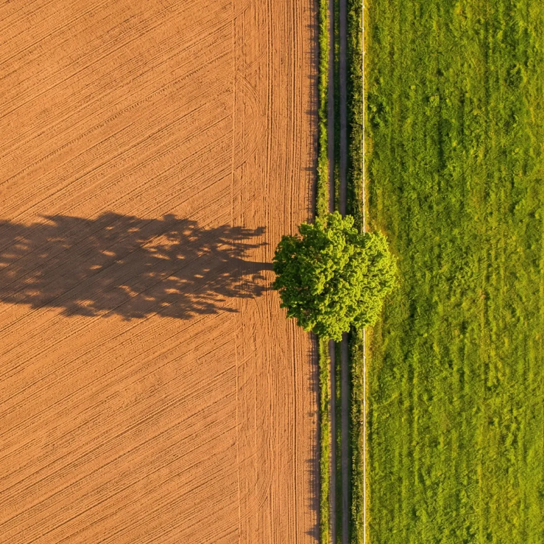
Agriculture drone services
We help farms and businesses with crop monitoring, irrigation management, precision agriculture, and more.
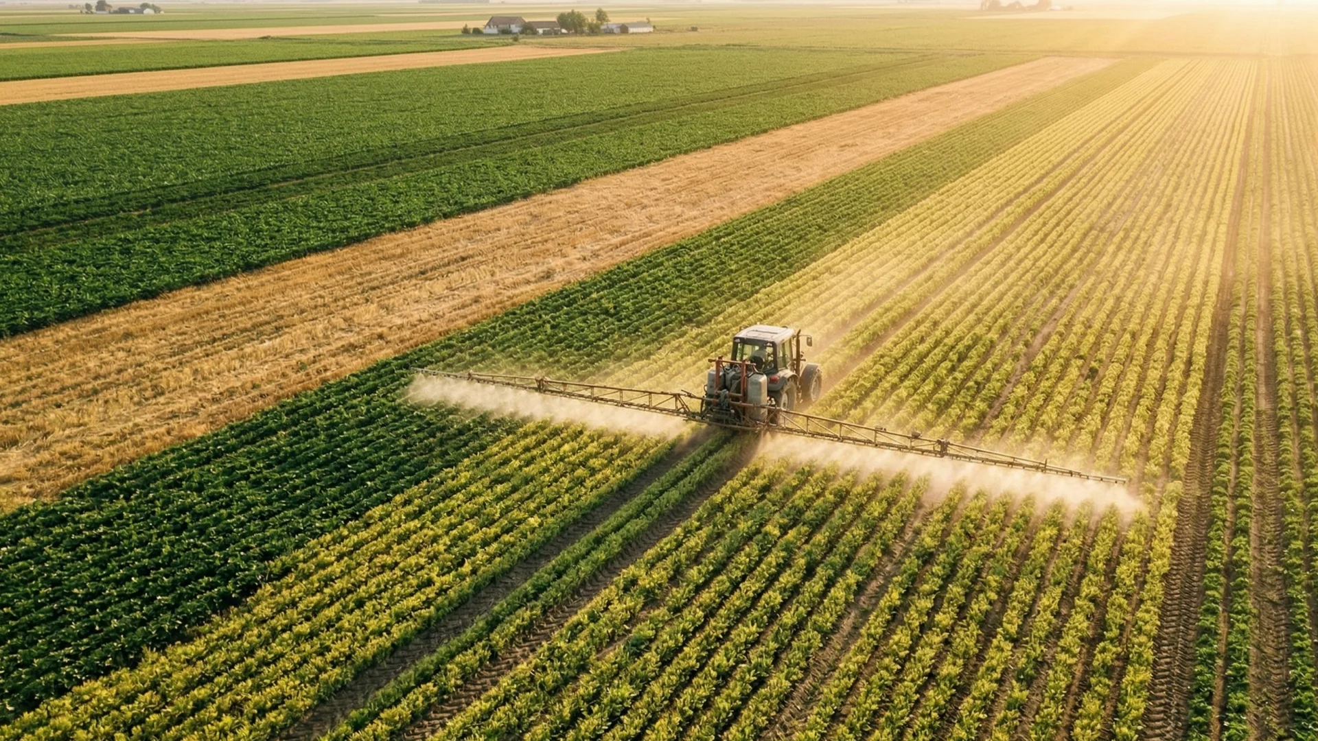
This is killing
your yield
Modern farming is a race against what you can’t see. From the ground, pests, disease, and irrigation failures often go unnoticed until the damage is irreversible. With 40% of global crop production lost to these invisible threats every year, the real risk is the one you haven't seen yet.
Benefits of drones
in agriculture
Faster, informed decisions with less guesswork—whether you're looking to boost yields, cut input costs, or run a more sustainable operation, our drone insights give you the clarity to take action where it matters most.
Resource optimization
Save resources and reduce costs to improve growth.
Increased yields
Detect and address crop issues early to boost production.
Smarter monitoring
Real-time aerial data for fast, confident decisions.
Sustainable farming
Eco-friendly farming practices that protect your land.
Explore our
agriculture services
Choose the agriculture drone services you need to grow smarter, faster, and get the most out of every acre.
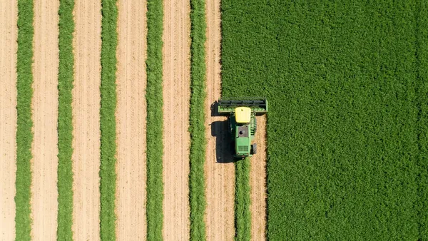
Crop Monitoring
Automated weekly aerial captures with NDVI multispectral analysis to track plant health.
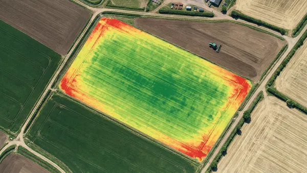
NDVI Mapping
High-precision multispectral maps to identify stress and optimize input applications.
Irrigation Audit
Thermal mapping to identify leaks, clogs, and soil moisture variations across your farm.
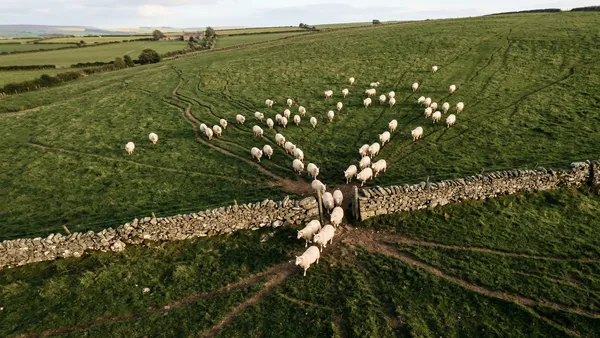
Livestock Tracking
Aerial counting and tracking of livestock across large pastures with ease.
Precision data
Predictable yield
*Trial results based on multispectral mapping vs. traditional scouting methods.
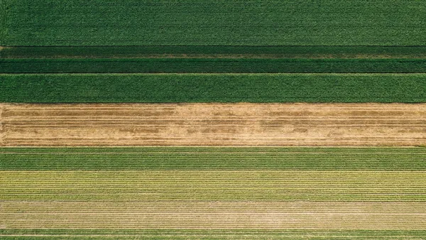
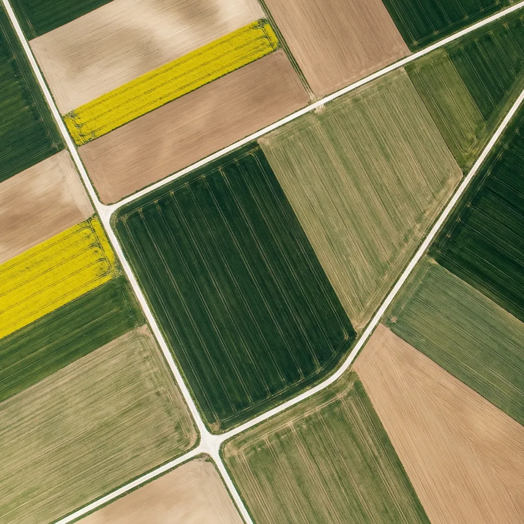
Accurate farm mapping
Orthomosaic mapping provides the foundation for precision farming, enabling you to plan irrigation and land use with total clarity.
Custom solutions
Bespoke payloads and flight intelligence designed for the unique needs of your specific land and crops.
Getting started is simple
01. Share Your Goals
Identify specific crops and data insights needed.
02. We Fly the Field
Precision missions optimized for crop and soil conditions.
03. Grow with Insight
View detailed mapping and health analysis in 48 hours.

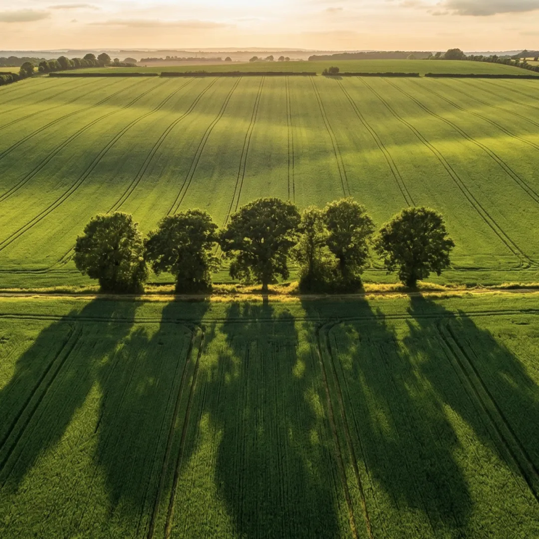
Smarter farming starts
from above
Deliver high-resolution crop data directly to your dashboard.
How it works?
Everything agriculture teams need to know about deploying drone intelligence on their fields.
ContactDrones capture aerial data using multispectral and RGB sensors to monitor crop health, detect irrigation issues, map field boundaries, and assess plant stress. This data helps farmers make faster, more informed decisions about where to apply inputs and when to act.
For most operations, weekly flights during the growing season deliver the best results. This frequency catches early signs of pest pressure, disease, or irrigation failure before damage spreads. Off-season flights can map drainage patterns and plan for the next cycle.
NDVI (Normalized Difference Vegetation Index) measures plant health by analyzing how crops reflect light. Healthy vegetation reflects more near-infrared light. NDVI maps reveal stress zones invisible to the naked eye, allowing targeted treatment instead of blanket spraying.
Agriculture drone services typically range from $5–$15 per acre depending on the sensor type and deliverables. Multispectral NDVI mapping sits at the higher end, while basic RGB orthomosaics are more affordable. Most farms see ROI within the first season through reduced input waste.
Farms using precision drone data report 15–20% reductions in fertilizer and pesticide costs, and up to 15% higher yields through early detection. The average ROI is 5× or more within the first year, driven by targeted inputs and fewer crop losses.