
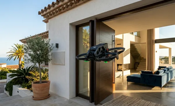
Real estate drone services
Aerial photography, cinematic video tours, and 3D mapping that help properties sell faster and for more.
Your listing photos are
costing you deals
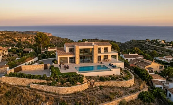
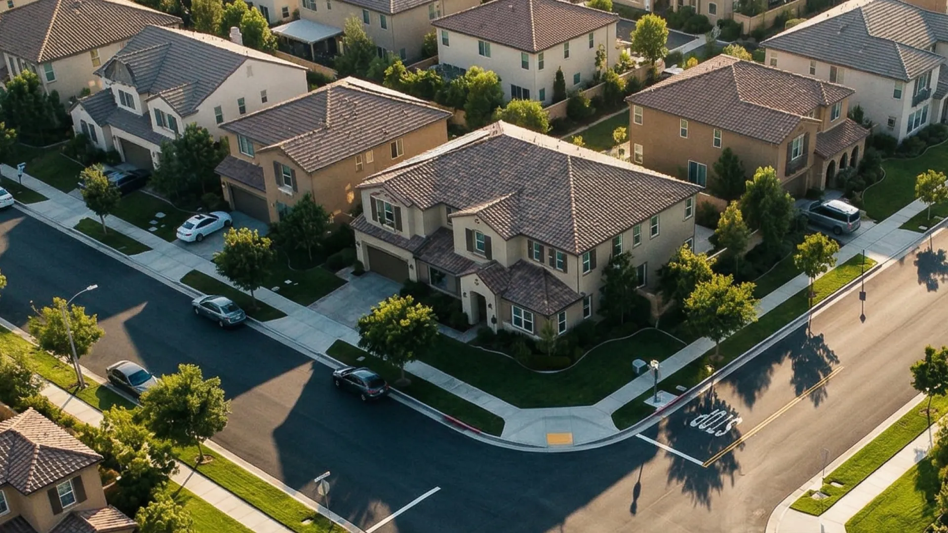
In a market where buyers scroll past hundreds of listings, standard ground-level photography blends in. Properties without aerial views lose the chance to showcase lot size, neighborhood context, roof condition, and curb appeal from the angles that actually sell. The listings that stand out are the ones that show the full picture—from above.
Why drone imagery
sells properties
Stand out in crowded markets, attract qualified buyers faster, and give every listing the competitive edge it deserves—whether it's a single-family home or a commercial development.
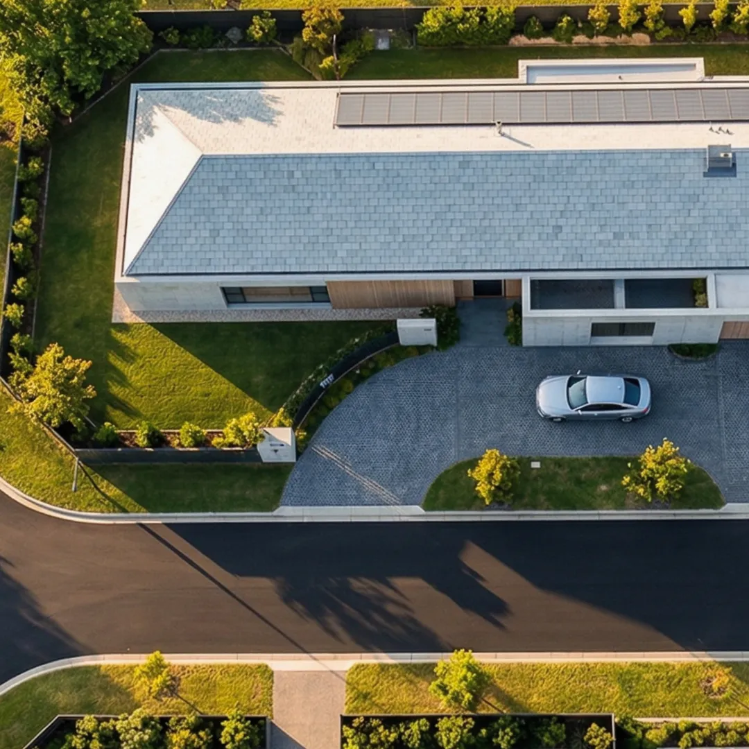
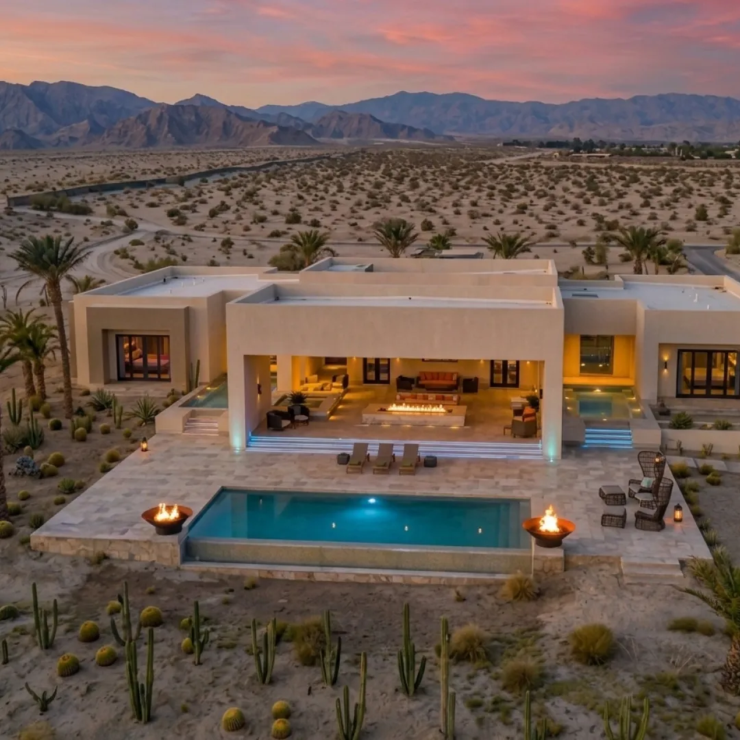
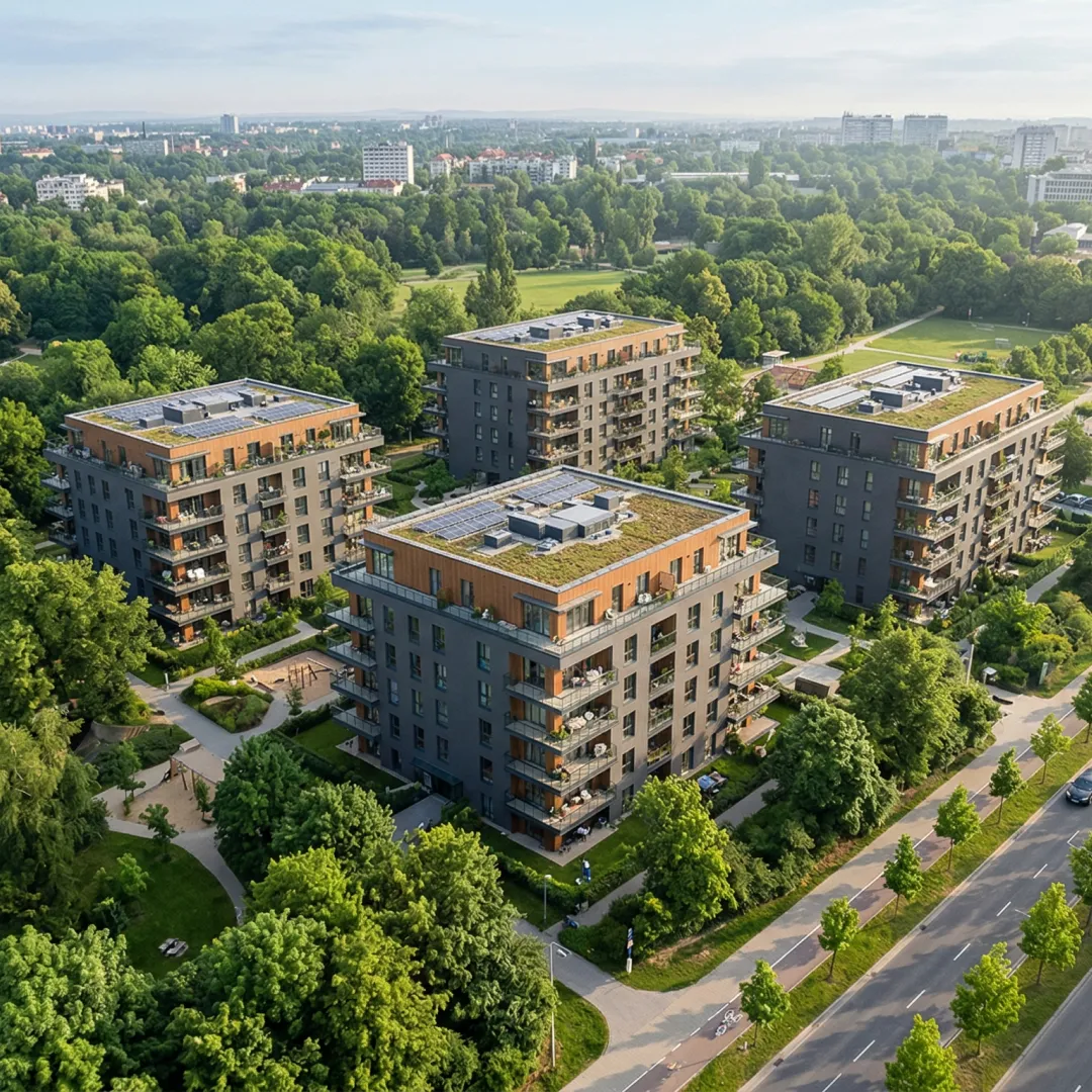
Every property type
Luxury estates, land parcels, commercial complexes, and new construction.
Higher sale price
Drone-marketed properties command 3–5% higher final sale prices.
Sell faster
Listings with aerial photography attract more views and close 68% faster.
Delivered in 48h
Photos, videos, and virtual tours formatted for MLS, Zillow, social media, and print.
Explore our
real estate services
Choose the real estate drone services you need to sell faster, stand out, and give every listing the competitive edge it deserves.
Aerial Photography
High-resolution HDR aerial photos that showcase the full property, lot, and surroundings from every angle.
Cinematic Video Tours
4K drone videography that creates immersive, shareable property tours for online listings and social media.
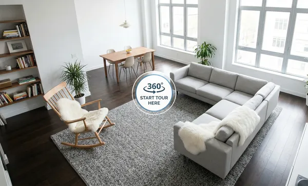
3D Virtual Walkthroughs
Interactive 3D models and virtual tours that let remote buyers explore properties without visiting.
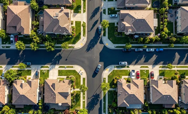
Site Mapping & Inspection
Orthomosaic maps, thermal roof scans, and site surveys for land sales, development, and pre-sale inspections.
Precision data
Better decisions
*Based on MLS data comparing listings with and without aerial imagery.
Built for every property type
From single-family listings to sprawling commercial developments, our FAA-certified drone pilots adapt their flight plans and equipment to capture every property at its best. Luxury estates, multi-family, land and acreage, resort properties—we cover them all with HDR photography and 4K aerial videography.
Professional deliverables, ready to use
Every shoot comes with fully edited, platform-ready assets. HDR aerial photos for MLS and Zillow, cinematic 4K video for social media, and interactive 3D walkthroughs for virtual open houses. No extra editing needed.
Getting started is simple
01. Schedule Your Shoot
Tell us the property details and your preferred date.
02. We Capture the Property
FAA-certified pilots fly the property and capture all assets.
03. Receive Your Assets
Edited photos, video, and virtual tours delivered within 48 hours.
Elevate your listings
from above
Professional drone photography and video tours delivered in 48 hours.
How it works?
Everything real estate professionals need to know about drone photography, video tours, and aerial mapping for property listings.
ContactReal estate drone photography typically costs $150–$500 per property. Basic aerial photo packages start around $150, while premium packages with 4K video tours, HDR editing, and twilight shots range from $350–$500. Commercial properties and large estates may cost more depending on acreage and deliverables.
Yes. Properties marketed with professional drone photography sell 68% faster and command 3–5% higher sale prices. Aerial views showcase lot size, neighborhood context, roof condition, and proximity to amenities that ground-level photos miss—giving listings a competitive edge on MLS, Zillow, and social media.
Real estate agents use aerial photography, 4K cinematic video tours, 3D virtual walkthroughs, roof and structural inspections, site mapping for land and acreage listings, and construction progress documentation. These assets improve listing quality, support remote buyers, and help properties stand out in crowded markets.
Yes. Commercial drone flights require an FAA Part 107 Remote Pilot Certificate. Professional operators carry this certification, plus liability insurance and airspace authorization (LAANC) when needed. Hiring a licensed service ensures legal compliance and safe operations around residential and commercial properties.
A standard residential drone shoot takes 30–60 minutes on-site. Aerial photos and video are typically delivered within 24–48 hours, fully edited and in MLS-ready format. Larger commercial properties, multi-unit complexes, or 3D mapping projects may require 2–3 hours on-site.